Use APKPure App
Get LaserSoft Connect old version APK for Android
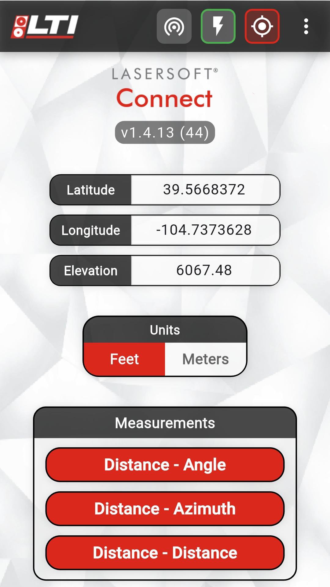


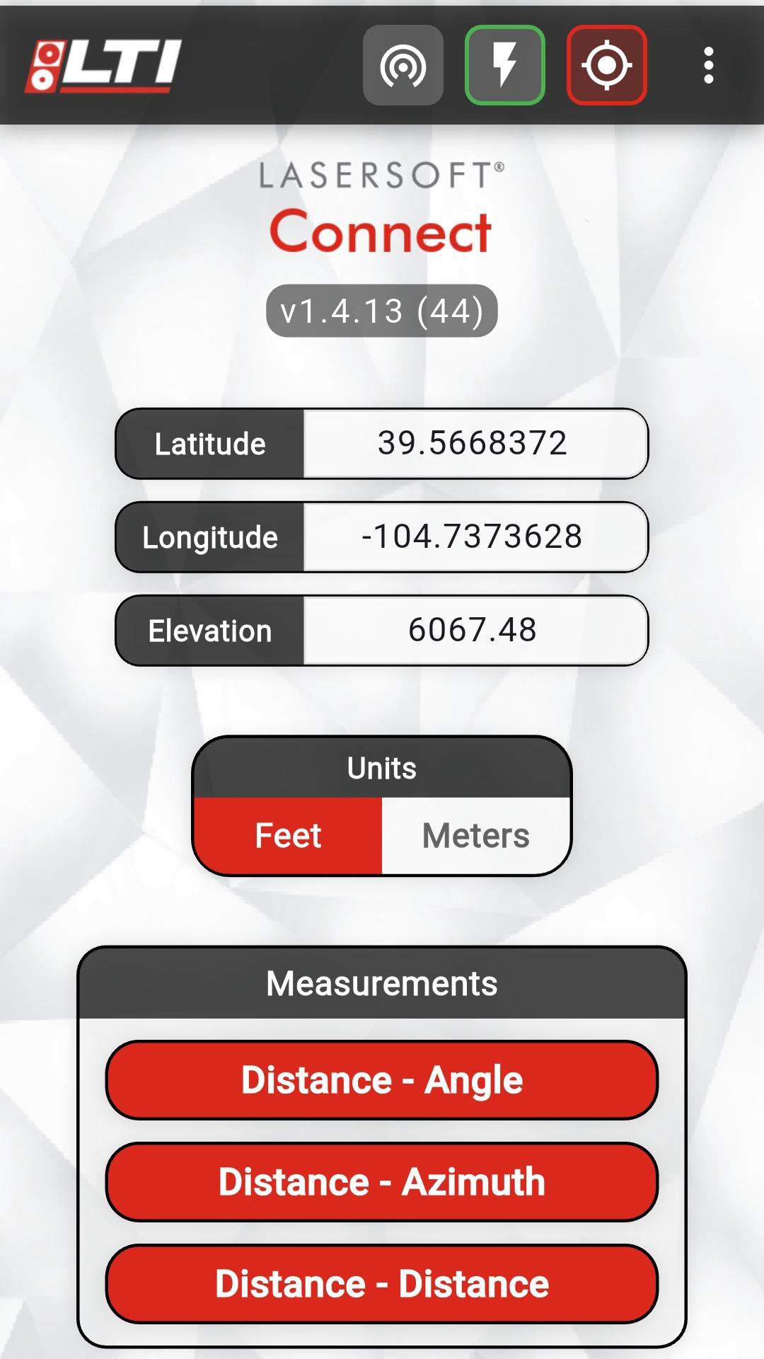


Enables laser offsets in Esri's Field Maps app, using any GPS provider.
Are you an Esri Field Maps user? Bring any GPS equipment to your project and use LaserTech's Connect app to enable offsetting your features location using one of our patented TruPulse lasers. Utilize one of three efficient workflows to position the laser and make the measurements to your feature. You can even record accurate elevations and object heights with the TruPulse.Last updated on Feb 6, 2026
-Device list now filters to show only LTI devices (TP*/TA* prefixes)
-Cleaner scanning experience without unrelated Bluetooth devices
-TP200X + TruAngle connectivity fixes
Bug Fixes:
-Memory leaks fixed on all routine screens
-Excessive logging reduced and log file sizes capped
-D-AN routine - fixed issues with angle-distance calculations
-Missing Line routine - calculation fixes
Latest Version
![]() 1.4.14
1.4.14
Uploaded by
Jhonata Dionizio
Requires Android
Android 7.0+
Available on
![]()
Category
Report
Discover what you want easier, faster and safer.

LaserSoft Connect
1.4.14 by LaserTech
Feb 6, 2026