下载 APKPure App
可在安卓获取LaserSoft Connect的历史版本


使用任何 GPS 提供商在 Esri 的 Field Maps 应用程序中启用激光偏移。
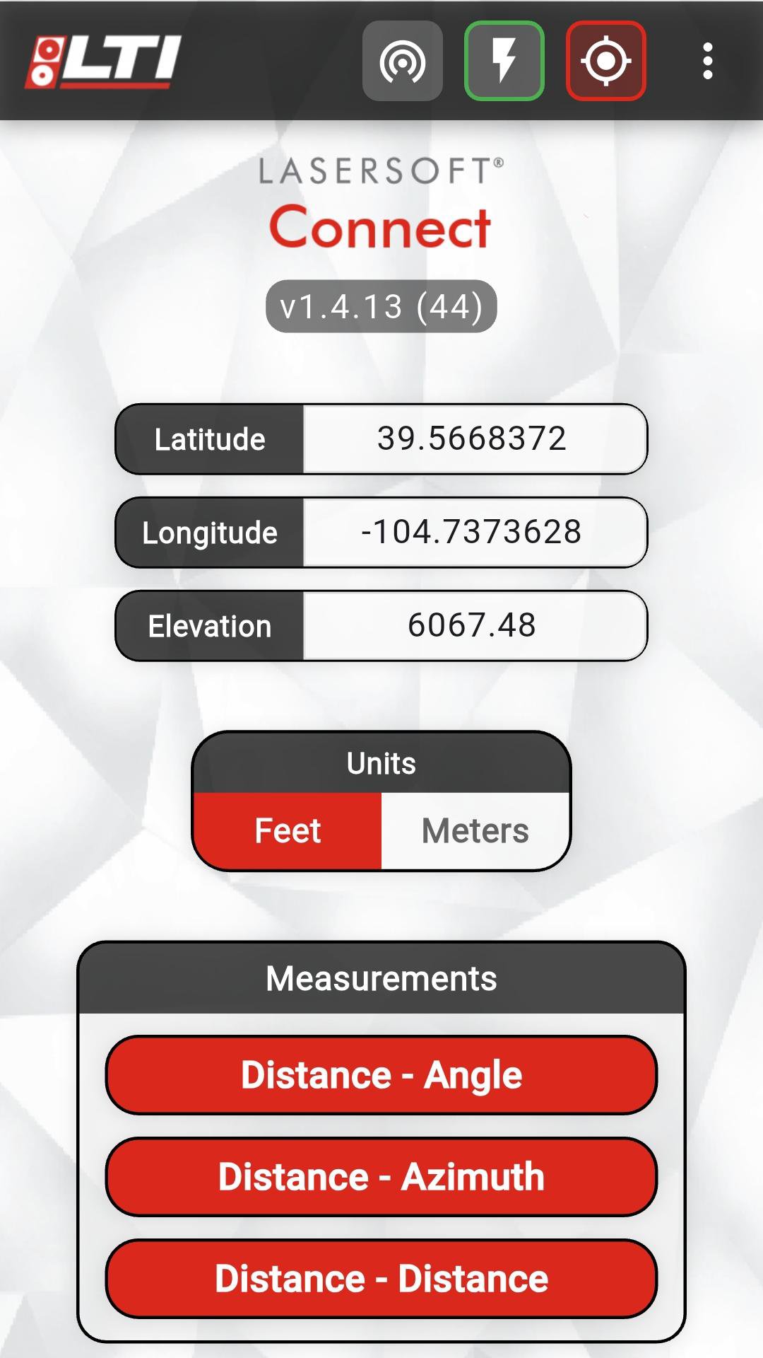
您是 Esri Field Maps 用户吗?将任何 GPS 设备带到您的项目中,并使用 LaserTech 的 Connect 应用程序,使用我们获得专利的 TruPulse 激光器之一来偏移您的特征位置。利用三种高效工作流程之一来定位激光器并根据您的特征进行测量。您甚至可以使用 TruPulse 记录准确的海拔和物体高度。Last updated on 2026年02月07日
-Device list now filters to show only LTI devices (TP*/TA* prefixes)
-Cleaner scanning experience without unrelated Bluetooth devices
-TP200X + TruAngle connectivity fixes
Bug Fixes:
-Memory leaks fixed on all routine screens
-Excessive logging reduced and log file sizes capped
-D-AN routine - fixed issues with angle-distance calculations
-Missing Line routine - calculation fixes

LaserSoft Connect
1.4.14 by LaserTech
2026年02月07日