APKPure Appを使用する
Clinton River Trail Mapの旧いバージョンをダウンロードすることが可能


クリントン川トレイルのユーザーのための対話型のマップ。
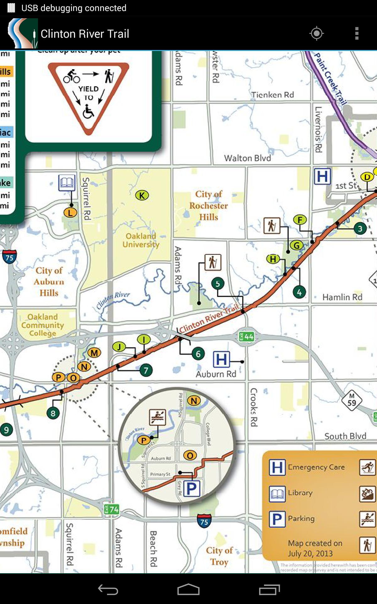
The Clinton River Trail is a multi-use rail-trail running thru 5 Oakland County communities in the northern Detroit suburbs. This app is an interactive map of the trail that will let you explore its features and some of the nearby points of interest. Using GPS, it can also show your current location on the map.Last updated on 2016年04月01日
- New support for smooth, continuous zooming
- Support Android 6.0 features
Discover what you want easier, faster and safer.

Clinton River Trail Map
3.2.0 by GHCS Software
2016年04月01日