下载 APKPure App
可在安卓获取SMASH的历史版本


SMASH-用于验船师幸福的智能移动应用
SMASH是开发用于执行快速定性工程/地质勘测和GIS数据收集的数字现场地图绘制应用程序。
SMASH的主要目的是拥有一个能够:
*可以放入任何口袋,需要时可以随时随地使用
*使您有可能在调查期间拍摄地理参考和可能定向的图片,还可以将其导入到gvSIG等GIS应用程序中
*能够轻松利用Internet连接(如果有)
*非常易于使用和直观,仅提供一些重要功能
SMASH中可用的主要功能包括:
*地理参考注释
*地理参考和定向图片
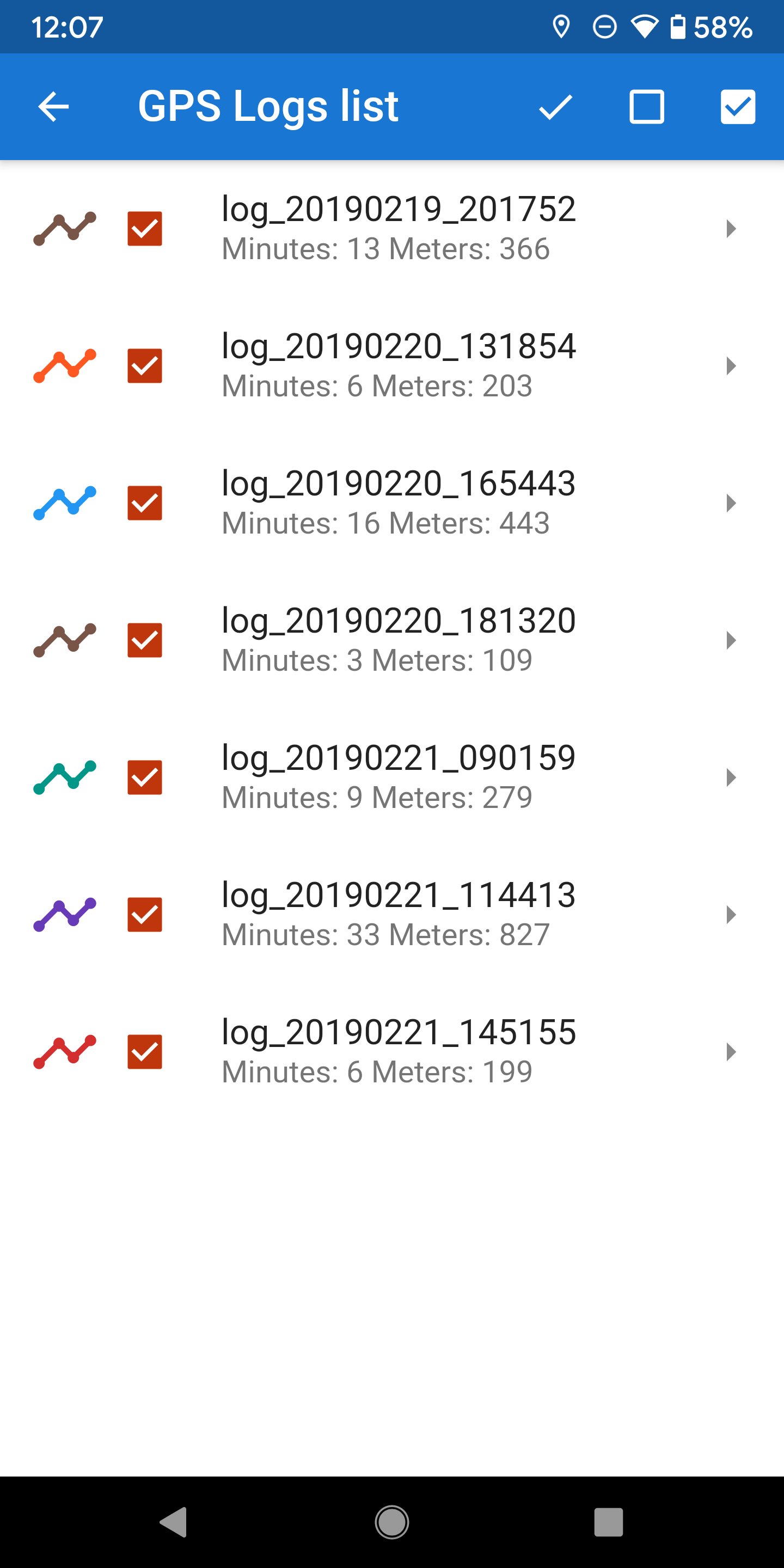
* GPS跟踪记录
*基于表单的数据调查
*轻松导出收集的数据
*用于导航的地图视图,支持栅格图块和gpx矢量数据
* geopackage(OGC标准)支持
Last updated on 2024年02月20日
This is the last release on the Play Store. Future releases will be on the F-Droid store.
Release notes:
* new geometries inside forms (polygon, line, point)
* zoom tile maps beyond max zoomlevel through scaling
* geojson layer support
* new 'current log' panel size
* box selection on info tool
* more efficient and clean toolbar
* better online sources handling and recover
* length and area in feature info
* url based combo boxes in forms
* many many fixes

SMASH
Digital Field Mapping1.8.1 by HydroloGIS S.r.l.
2024年02月20日